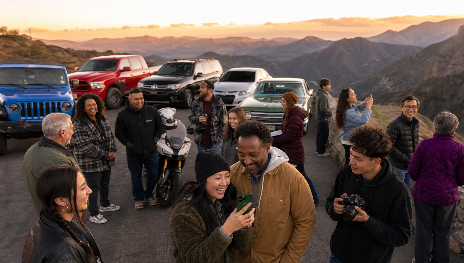
The scenic road ride
For cars and motorcycles. Enjoy a four-hour, noncompetitive journey through San Diego’s backcountry with the mountain as your destination.
Cars · motorcycles · classic vehicles
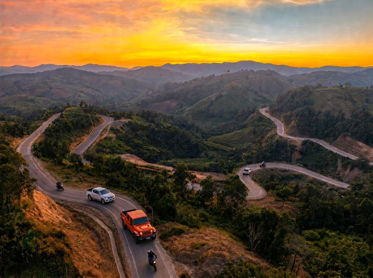

Support Kids and Families facing Cancer
Two routes. One beautiful destination. One powerful purpose. Join a scenic San Diego backcountry ride supporting children and families facing childhood cancer.


🚗 Any Vehicle • 🏍️ Any Motorcycle
Register. Rally. Stay Free.
Our special thank-you for supporting kids and families fighting cancer.
A cancer diagnosis changes a family’s world. Treatment can bring long days, uncertainty, and challenges no family should face alone. On September 20, our community will take to the road to show its support for children facing cancer and the people who love them.
The Brave Hearts Road Rally supports Oncology And Kids and its work with these children and families. Your participation turns a scenic Sunday ride into a visible show of community and care.
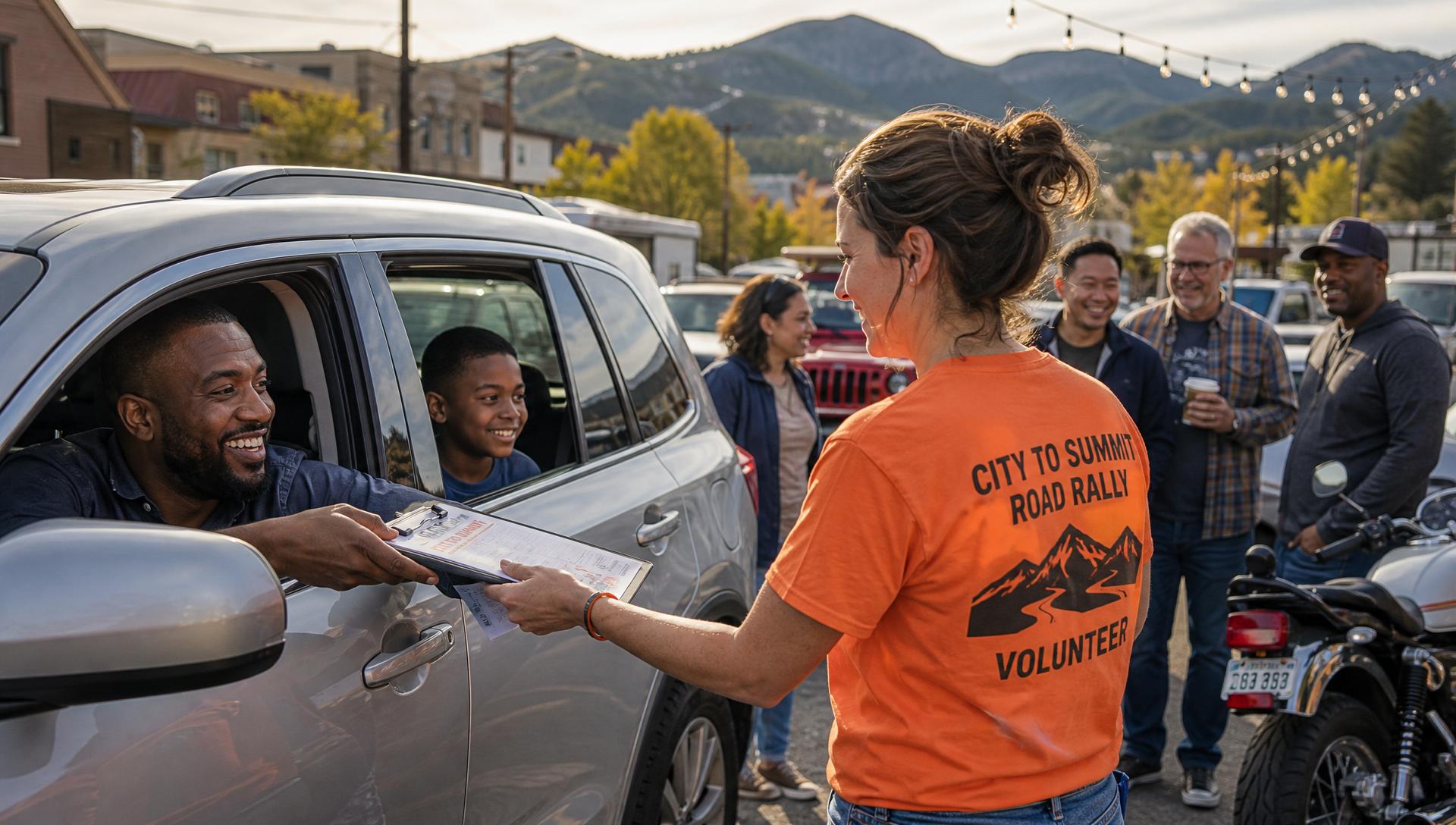
Watch: why we ride
Bring your Jeep, Toyota, motorcycle, classic car, sports car, or the vehicle you drive every day. Both rides begin at Mossy Jeep Chula Vista and lead to a family-friendly gathering at Hideout Mountain Lodge.
For cars and motorcycles. Enjoy a four-hour, noncompetitive journey through San Diego’s backcountry with the mountain as your destination.
Cars · motorcycles · classic vehicles

For Jeeps, capable Toyotas, and other adventure vehicles looking for a more challenging backcountry route. Route instructions and driving requirements will be shared with registered participants.
Jeeps · capable Toyotas · adventure vehicles
Meet at 10:30 AM at Mossy Jeep Chula Vista or Harley-Davidson National City.
Follow your chosen route through San Diego’s scenic backcountry. This is a community ride, not a race.
Finish at Hideout Mountain Lodge in Santa Ysabel for a family-friendly celebration.
Join us for a Sunday road adventure through San Diego’s scenic backcountry as we drive, ride and rally together in support of kids and families facing childhood cancer.
All three routes finish at Hideout Mountain Lodge in Santa Ysabel for the Brave Hearts Celebration.
Cars • Motorcycles • Classics • Sports Cars
Scenic, paved and motorcycle friendly. Depart Mossy Jeep Chula Vista at 10:30 AM, run I-8 East to CA-79 North through Descanso, past Lake Cuyamaca and through Julian, then on to Santa Ysabel and Mesa Grande Road toward The Summit and Hideout Mountain Lodge — approximately 3½ to 4½ hours total.
The ride begins in Chula Vista, takes I-805 North to CA-94 East and I-8 East, exits at CA-79 / Descanso, climbs CA-79 North past Lake Cuyamaca and through Julian, then heads to Santa Ysabel and onto Mesa Grande Road toward The Summit and Hideout Mountain Lodge.
1875 Auto Park Avenue, Chula Vista, CA 91911 · GPS 32.6145, -117.0317.
Exit Mossy Jeep onto Auto Park Avenue. TURN RIGHT onto Main Street and continue on Main Street. Follow signs for I-805 NORTH, MERGE RIGHT onto I-805 North and continue north. Take the connection toward CA-94 EAST and MERGE onto CA-94 East / Martin Luther King Jr. Freeway, continuing east toward the San Diego backcountry. Follow CA-94 East to the connection with I-8, then MERGE onto I-8 EAST toward El Cajon / Alpine / El Centro and continue east.
I-8 Exit 40 — CA-79 / Japatul Valley Road, Descanso, CA 91916 · GPS 32.8530, -116.6080. Continue east on I-8 through the Alpine area toward Pine Valley / Descanso. Take EXIT 40 — CA-79 / Japatul Valley Road / Descanso. At the end of the ramp, follow signs for CA-79 NORTH / Descanso and TURN onto CA-79 North. Continue through Descanso and STAY ON CA-79 NORTH — at the split, make a LEFT toward Lake Cuyamaca. Do not go onto Highway 80.
Lake Cuyamaca Recreation & Park District, 15027 Highway 79, Julian, CA 92036 · GPS 32.9922, -116.5827. Continue on CA-79 North, follow signs for Lake Cuyamaca, stay on Highway 79 and arrive at Lake Cuyamaca Recreation & Park District.
Main Street (CA-79), Julian, CA 92036 · GPS 33.0786, -116.6017. TURN LEFT to continue into Julian. Follow CA-79 / Main Street through downtown Julian. At the CA-79 / CA-78 junction, STAY ON CA-79 and follow signs for Santa Ysabel. Julian Rally Moment — Brave Hearts Road Rally · Julian.
CA-79 at CA-78, Santa Ysabel, CA 92070 · GPS 33.1097, -116.6733. Leave Julian following CA-79 / CA-78 toward Santa Ysabel, continuing west / northwest through the backcountry. At the CA-79 / CA-78 junction at Santa Ysabel, follow signs for CA-79 / Mesa Grande Road, approach the Mesa Grande Road junction and TURN LEFT onto Mesa Grande Road. Begin the backcountry portion of the rally toward The Summit / Hideout.
27413 CA-76, Santa Ysabel, CA 92070 · GPS 33.2134, -116.7395 · 619-359-0507. Arrive for the Brave Hearts Celebration with food, music, vehicles, motorcycles and mountain views. Total ride: 10:30 AM departure to 1:30–2:00 PM arrival — approximately 3½ to 4½ hours.
Jeeps • 4x4s • Capable Toyotas • Adventure Vehicles
Sunday, September 20, 2026 · Start 10:30 AM. Easy to moderate off-road: freeway to Ramona, then the Black Canyon Road backcountry, Mesa Grande Road and the summit lookout before dropping down to Hideout Mountain Lodge. Approximately 3½ to 4½ hours.
1875 Auto Park Ave, Chula Vista, CA 91911 · GPS 32.6145, -117.0317. Exit Mossy Jeep onto Auto Park Avenue. RIGHT onto Main Street and continue on Main Street. LEFT onto the I-805 North on-ramp, merge onto I-805 North and continue north.
I-805 North / CA-52 East interchange, San Diego, CA 92111 · GPS 32.8330, -117.1500. Take the CA-52 East exit. MERGE RIGHT onto CA-52 East and continue east toward Santee / El Cajon.
CA-52 East / CA-67 North interchange, Santee, CA 92071 · GPS 32.8400, -116.9700. Take the CA-67 North exit toward Ramona. MERGE RIGHT onto CA-67 North and follow CA-67 through Lakeside toward Ramona.
CA-67 (Main Street) at Magnolia Avenue, Ramona, CA 92065 · GPS 33.0405, -116.8690. Continue on CA-67 North into Ramona and stay on CA-67 through the town area. RIGHT onto Magnolia Avenue — this is the key backroad turn.
Magnolia Avenue at Black Canyon Road, Ramona, CA 92065 · GPS 33.0640, -116.8560. Continue on Magnolia Avenue as it transitions into Black Canyon Road. STAY ON BLACK CANYON ROAD — do not turn off onto side roads. Black Canyon becomes a narrow, winding, graded dirt road in portions.
Black Canyon Road at Sutherland Dam Road, Ramona, CA 92065 · GPS 33.123080, -116.798860. At the Lake Sutherland Dam Road area, STAY LEFT to remain on Black Canyon Road. Cross the bridge over Santa Ysabel Creek and CONTINUE STRAIGHT toward the Mesa Grande Road area.
Mesa Grande Road at Highway 79, Santa Ysabel, CA 92070 · GPS 33.136437, -116.679298. At the Mesa Grande Road connection, TURN LEFT onto Mesa Grande Road and follow it to the summit mountain area lookout · GPS 33.1800, -116.7600. Narrow in places — no passing, no racing, generous spacing.
27413 CA-76, Santa Ysabel, CA 92070 · GPS 33.2134, -116.7395 · 619-359-0507. Follow the route downhill to Hideout Mountain. Look for 27413 CA-76 / Hideout Mountain Lodge and TURN RIGHT into Hideout Mountain Lodge.
National City Harley-Davidson • Motorcycles
Created especially for the motorcycle community. Riders leave National City Harley-Davidson and head east toward San Diego's scenic backcountry, trading city streets for mountain highways, sweeping curves and beautiful rural roads. Total ride time approximately 3½ to 4½ hours, including short breaks and a normal mountain-road/traffic cushion.
3201 Hoover Avenue, National City, CA 91950 · GPS 32.6556, -117.1072.
Otay Lakes Road, Chula Vista / San Diego County, CA. Depart 11:05 AM. The ride leaves the city behind and begins moving into the backcountry, with open hills, reservoir views and a more relaxed rural-road setting.
Lake Cuyamaca Recreation & Park District, 15027 Highway 79, Julian, CA 92036 · GPS 32.9922, -116.5827 · 760-765-0515. Depart 12:05 PM. The route reaches mountain country and passes beautiful Lake Cuyamaca surrounded by forest and high-country scenery.
Mesa Grande Road at Highway 79, Santa Ysabel, CA 92070 · GPS 33.136437, -116.679298. Depart 12:35 PM. Winding Mesa Grande Road with oak-covered hills, open backcountry, rolling terrain and sweeping mountain views.
27413 CA-76, Santa Ysabel, CA 92070 · GPS 33.2134, -116.7395 · 619-359-0507. Arrive for the Brave Hearts Celebration — motorcycles, cars, food, music and mountain views.
10:30 AM depart National City Harley-Davidson · 11:00 AM Otay Lakes Road · 11:05 AM depart · 12:00 PM Lake Cuyamaca · 12:05 PM depart · 12:30 PM Mesa Grande Road · 12:35 PM depart · 1:15–1:45 PM arrive at Hideout. Overall approximately 3½ to 4½ hours; official event window 10:30 AM–2:00 PM to allow for group spacing, traffic and mountain-road conditions.
City → Backcountry → Mountains → Lake → Mesa Grande → Summit. A scenic, noncompetitive group ride created for motorcycle riders who want to enjoy the curves, scenery and freedom of the open road while riding together for a great cause.
Mossy Jeep Chula Vista → I-805 N → CA-94 E → I-8 E → CA-79 N / Descanso → Lake Cuyamaca → Julian → Santa Ysabel → Mesa Grande Road → Hideout
Scenic paved ride for motorcycles, cars, classics and sports cars — 3½ to 4½ hours.
Mossy Jeep Chula Vista → I-805 N → CA-52 E → CA-67 N → Ramona → Magnolia Ave → Black Canyon Road → Mesa Grande Road → Summit Lookout → Hideout
Easy to moderate off-road adventure for Jeeps and 4x4s — graded dirt sections on Black Canyon Road, about 3½ to 4½ hours.
National City Harley-Davidson → Otay Lakes Road → Lake Cuyamaca → Mesa Grande Road → Hideout
Scenic, noncompetitive group ride for motorcycles — 10:30 AM start, finish 1:15–1:45 PM, about 3½ to 4½ hours.
One mountain. One destination. One powerful purpose.
Drive for brave hearts.
Support kids and families facing childhood cancer.
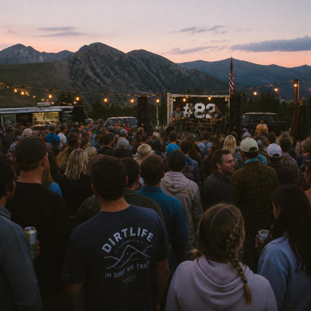
Bring your favorite vehicle and the people you love. Your Sunday drive can mean something more.
Questions? Visit citytosummitroadrally.org or call Lana Burke directly at (717) 916-8422.